Captains GridThe Captain-Led Network

Pillar Three · Destination Guides

Port-by-port guidance with captain judgment

Structured operating data, where to berth, fuel, haul and provision, combined with the notes a captain actually passes to another captain. South Florida and the Bahamas first; the Caribbean and the Med follow.
26°06'N 80°07'W

Fort Lauderdale

Open guide →

South Florida

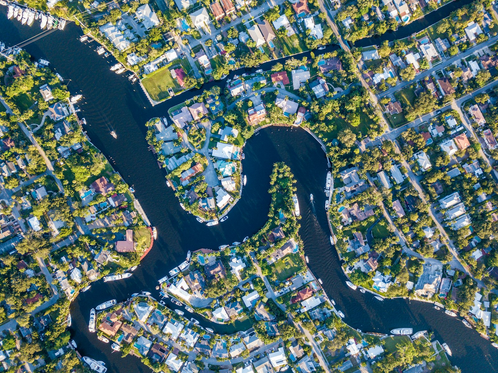
The working capital of the yachting world. More repair capacity, crew, provisioning and brokerage activity concentrates here than anywhere else in the Americas. If the Med is where yachts are seen, Fort Lauderdale is where they are kept alive.

25°46'N 80°08'W

Miami

Open guide →

South Florida

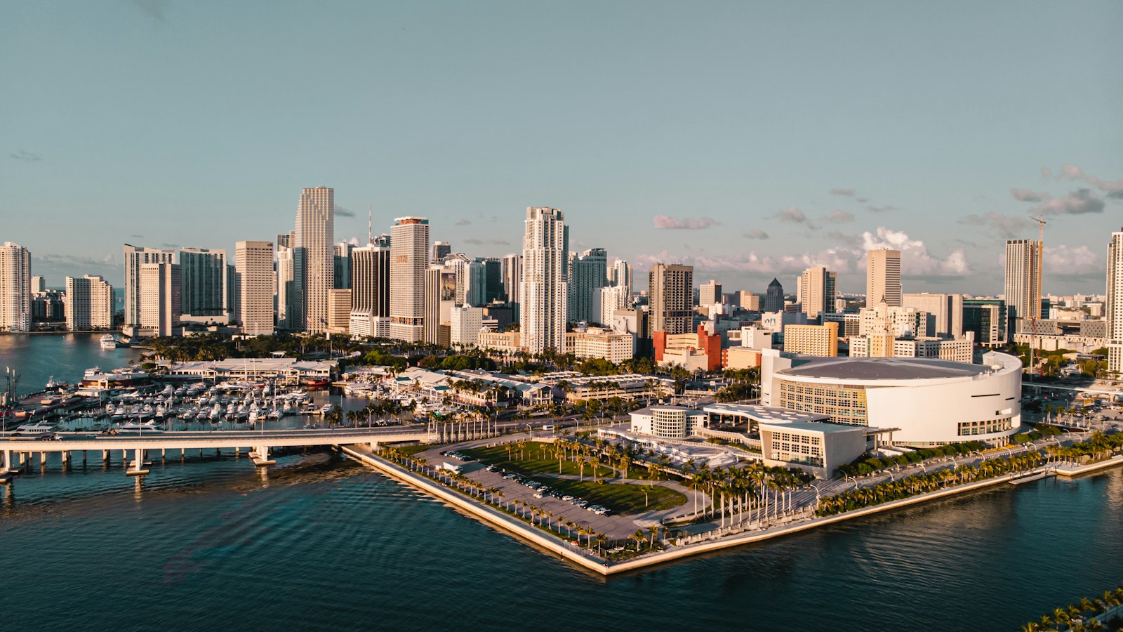
Miami is the only harbor in South Florida where a 90 meter boat can lie alongside in the middle of the city, and everyone prices accordingly. Government Cut gives you 50 feet of dredged Federal channel straight off the Atlantic, so there is no tide math and no bridge schedule between the sea buoy and a superyacht berth. The catch is that the whole port runs on event-week economics: the same berth that costs you 9 dollars a foot in September wants 25 or more during Art Basel and may have been booked eleven months out. Treat Miami as a staging and showcase port, do your yard work up the river or in Lauderdale, and keep one eye on the cruise schedule every time you transit the Cut.

26°42'N 80°02'W

Palm Beach

Open guide →

South Florida

Palm Beach is the easiest big-boat entrance in Florida and the most socially complicated dock in Florida, in that order. Lake Worth Inlet is a Federal channel maintained around 35 feet for the Port of Palm Beach, with no bridges between the sea buoy and the turning basin, so a 70 meter boat can be alongside the Town Docks 40 minutes after picking up the pilot she did not need. What you are buying here is proximity: Worth Avenue, the club circuit, and an owner demographic that winters within a golf cart ride of the berth. Run the boat quietly, keep the crew polished, and remember that on this island discretion is the product and everything else is logistics.

24°33'N 81°47'W

Key West

Open guide →

Florida Keys

Key West is a 6 to 9 foot town with 12 foot ambitions, and every operational decision starts with draft. The main ship channel carries plenty of water, but once you leave it the Keys give you hard coral and grass flats patrolled by people who will write you a citation for the prop scar. The real big-boat answer is Stock Island, one harbor east, where the dredged basins and the working waterfront live; downtown Key West Bight is for boats under about 130 feet and captains who enjoy maneuvering in a crowd. It is the end of the road in every sense, which is the charm and the constraint: thin provisioning, one small airport, and 60 miles of nothing between you and the Dry Tortugas.

25°44'N 79°18'W

Bimini

Open guide →

Bahamas

Bimini is 48 miles from Miami and a different century, the first rung of the Bahamas ladder and the place where the Gulf Stream teaches its annual class of new captains. The island itself is two slivers of sand with a dredged harbor channel between them, a casino resort on the north end, and an economy that runs on sportfish traffic, sandbar day boats, and fuel sales. Operationally it is a clearance stop, a staging point for the bank crossing east, and a weekend destination in its own right if your guests like their luxury barefoot. Respect the Stream on the way over and the skinny water on the way out the back, and Bimini is the easiest foreign port you will ever work.

25°05'N 77°21'W

Nassau

Open guide →

Bahamas

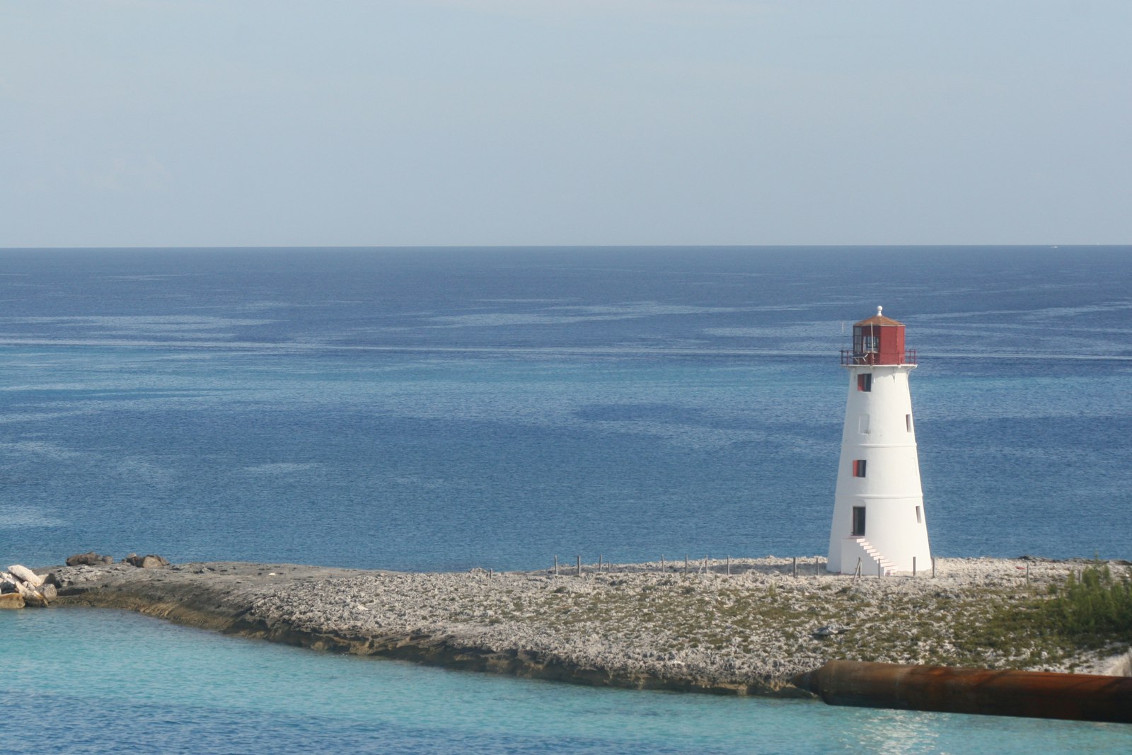
Nassau is the logistics capital of the Bahamas and the only place in the islands where you can fix, fuel, provision, and crew-change a big boat without a Florida run, which is exactly why every Exumas program passes through it whether the guests notice or not. The harbor itself is a working port shared with up to six cruise ships a day, and Harbour Control runs it like one, permission required to enter and move. Your real decision here is which of three very different berthing answers fits the program: Atlantis for spectacle, Hurricane Hole for protection and polish, or Albany for privacy at a distance. Use Nassau hard for what it is good at, keep the guest time aboard purposeful, and stage onward; nobody ever extended a charter to spend more time in Nassau Harbour.

24°10'N 76°27'W

The Exumas

Open guide →

Bahamas

The Exumas are 365 cays strung along 120 miles of the most navigationally honest water on earth: the chart says 8 feet, the water color says 8 feet, and both are telling the truth if you learned to read at the right school. The chain runs northwest to southeast with the shallow Great Bahama Bank on the west side and the 1,000 fathom Exuma Sound on the east, connected by cuts that turn violent when tide opposes wind. There are five fuel docks, two real grocery stores, and zero shipyards in the whole chain, so everything is logistics math: fuel, water, food, and weather windows, planned from Nassau or Florida. Get the math right and this is the best cruising ground in the western hemisphere; get it wrong and you are the boat anchored off Staniel Cay waiting four days for a part.

43°44'N 7°25'E

Monaco

Open guide →

Western Mediterranean

Monaco is the tightest berth market in the Mediterranean: a sovereign city-state with one principal harbor, Port Hercule, and demand that outstrips supply every week of the season. You do not cruise to Monaco, you position for it: berths are negotiated weeks or months out, and the fallback plan is always Cap d'Ail next door or the Fontvieille anchorage approaches. Get the berth confirmed in writing before you commit the boss to a date.

41°29'N 71°19'W

Newport

Open guide →

New England

Newport is the summer capital of American yachting and the natural staging port for a New England season: deep water, real shipyard support, and a harbor that has been handling serious sailing yachts since the America's Cup era. It is also the logistics hinge between the Caribbean or Florida run in spring and the Nantucket, Vineyard, and Maine circuit in July and August. If your boat needs anything fixed north of Fort Lauderdale, this is where it gets fixed.

17°54'N 62°51'W

St. Barths

Open guide →

Caribbean

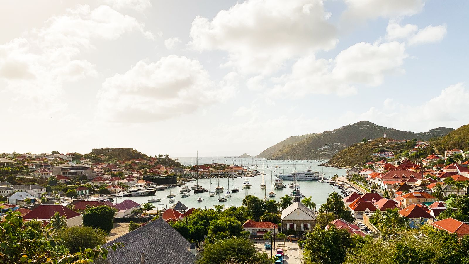
St. Barths is the Caribbean's marquee stop and Gustavia is the smallest stage it could possibly play out on: a pocket harbor with a few dozen stern-to berths and an outer anchorage that hosts more yacht value per square mile than anywhere outside Monaco. The operating reality is anchorage-based for anything large, with tenders doing the real work. Festive week between Christmas and New Year is its own logistics discipline, plan it like an event, not a cruise.

17°00'N 61°46'W

Antigua

Open guide →

Caribbean

Antigua is the working heart of the Caribbean superyacht circuit: Falmouth and English Harbour sit side by side on the south coast with real dockage, real trades, and a sailing culture that goes back to Nelson's fleet. It is where the transatlantic boats land in November, where crews get rebuilt, and where the season's racing calendar lives. As an operational base it is the most complete port between Florida and Brazil.

18°02'N 63°03'W

St. Martin / Sint Maarten

Open guide →

Caribbean

St. Martin is the Caribbean's logistics engine room: duty-free fuel, duty-free provisioning, the best chandleries and technical trades east of Puerto Rico, and the protected Simpson Bay Lagoon ringed with megayacht docks. The whole operation runs on the bridge schedule, because the lagoon's shelter is bought with a lifting bridge on the Dutch side that opens a few times a day and not otherwise. Half French, half Dutch, all business.

18°25'N 64°37'W

British Virgin Islands

Open guide →

Caribbean

The BVI is the most forgiving cruising ground in the Caribbean: line-of-sight navigation down the Sir Francis Drake Channel, anchorages every few miles, and a charter infrastructure built over fifty years. For larger yachts the program centers on Virgin Gorda's North Sound, the protected basin that holds the territory's serious dockage. It is easy water, which is exactly why the boss's guests love it and why your real job becomes mooring-field choreography.

21°47'N 72°16'W

Turks & Caicos

Open guide →

Caribbean

Turks and Caicos is the best water you will ever put a tender in, attached to some of the thinnest yacht services in the region: a 60 mile barrier-reef bank with Bahamas-grade shallows, one real island of infrastructure in Providenciales, and almost nothing else man-made between you and the horizon. This is a destination you bring your own depth of support to. Draft discipline is the entire game; the banks punish optimism.

39°34'N 2°38'E

Palma de Mallorca

Open guide →

Western Mediterranean

Palma is the refit capital of the Mediterranean and the closest thing the industry has to a company town: yards, riggers, painters, electricians, sailmakers, and a crew population in the thousands all inside one bay. Boats winter here, rebuild here, and crew here before the season scatters them east. If Monaco is where yachts are seen, Palma is where they are made ready.

41°08'N 9°32'E

Porto Cervo

Open guide →

Western Mediterranean

Porto Cervo is the Costa Smeralda's purpose-built stage: a marina village the Aga Khan carved out of Sardinian granite in the 1960s, now home to the YCCS and the most expensive August berths in the Mediterranean. The cruising around it is the real prize, the Maddalena archipelago's granite and turquoise a few miles north. You come for the scene, you stay for the water, and you budget like the fuel dock has a wine list.

43°16'N 6°38'E

St. Tropez

Open guide →

Western Mediterranean

St. Tropez is quay theater: a small fishing port where stern-to berths on the Quai Suffren face the cafe crowd at point-blank range, and the real operating picture lives around the corner in the Baie de Pampelonne, the most heavily worked beach-club anchorage in the world. The port takes a handful of big yachts; everyone else anchors and runs tenders all day. Master the anchorage logistics and the rest is reservations.

37°56'N 23°38'E

Athens & the Saronic

Open guide →

Eastern Mediterranean

Athens is the operating base for the Greek season: the Faliro coast marinas put a capital city's airlift, provisioning, and trades behind the gangway, with the Saronic Gulf's islands an easy half-day away and the Cyclades staged beyond. Every serious Greek program starts and ends here. The planning variable that rules the whole country is the meltemi, the dry northerly that owns the Aegean in high summer.

26°32'N 77°03'W

The Abacos

Open guide →

Bahamas

The Sea of Abaco is 60 miles of protected water behind a barrier chain of cays, mostly 8 to 14 feet deep, and it remains the easiest multi-stop cruising ground within a day of Florida. Dorian flattened Marsh Harbour and Treasure Cay in September 2019, and anyone telling you it is all back to normal has not walked Don MacKay Boulevard. The truth is more useful: the marinas, fuel, and restaurants that matter to a transient yacht are rebuilt and functioning, while the residential recovery is still uneven. Hope Town and Man-O-War came back faster than the mainland and are the polished stops on the circuit.

25°30'N 76°38'W

Eleuthera & Harbour Island

Open guide →

Bahamas

Eleuthera is a 100-mile sliver of an island with the Atlantic on one side, the banks on the other, and exactly one world-class destination harbor: Harbour Island, the Briland of the society pages, with its 3 miles of pink sand. Getting a yacht there means either the Devil's Backbone, a reef-strewn 8-mile pilotage along the north shore, or staging through Spanish Wells, a working fishing town that quietly handles more lobster than anywhere in the Bahamas. The rest of the island, Hatchet Bay, Governor's Harbour, Rock Sound, is sleepy out-island cruising with thin services. Come for Briland, plan around the Backbone, and treat the rest as bonus.

18°20'N 64°55'W

St. Thomas & the USVI

Open guide →

Caribbean

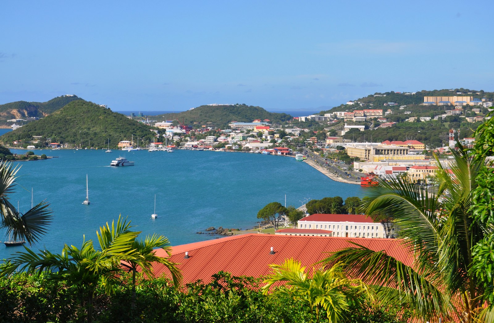
St. Thomas is the operational hub of the Eastern Caribbean's American corner: a deepwater harbor at Charlotte Amalie, a true superyacht facility at Yacht Haven Grande, and the best airlift south of San Juan. The US flag matters here, no foreign clearance arriving from the mainland, US parts shipped without duty games, and crew payroll that stays domestic. Twenty minutes east, Christmas Cove and the St. John National Park moorings give you postcard water without the BVI's fees and ferries. It is not the quietest island, but as a base of operations it is the most useful real estate in the chain.

12°03'N 61°45'W

Grenada

Open guide →

Caribbean

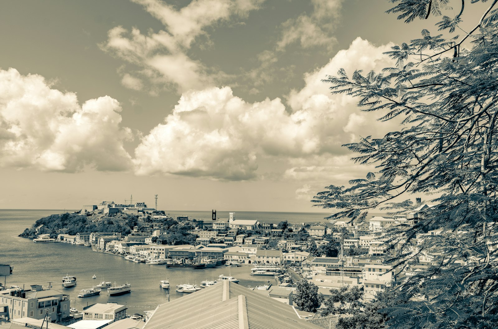
Grenada is where the Caribbean fleet goes to be sensible: south of the traditional 12°40'N insurance line, ringed with deep protected bays on its south coast, and equipped with more haul-out capacity than anywhere between Trinidad and St. Maarten. Port Louis gives you a proper marina in the lagoon at St. George's, the south coast bays hold hundreds of boats through storm season, and the yards at Clarkes Court, Spice Island, and Grenada Marine do real work at fair rates. Carriacou, 33 miles north, adds an out-island anchoring circuit. Hurricane Beryl's 2024 strike on Carriacou rewrote the 'below the box' marketing, but the math still favors Grenada over almost anywhere else in the chain.

14°04'N 60°57'W

St. Lucia

Open guide →

Caribbean

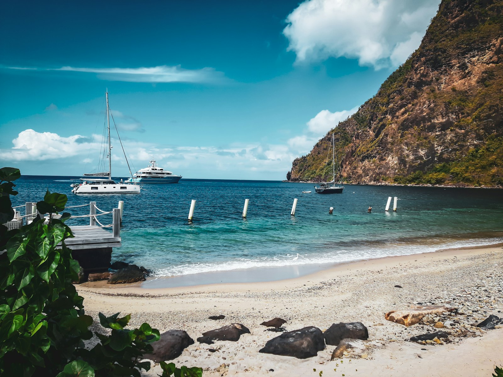
St. Lucia packs three different operations into 27 miles: Rodney Bay in the north, a full-service marina basin and the finish line of the Atlantic Rally for Cruisers; Marigot Bay, the postcard mangrove inlet that every brochure calls a hurricane hole; and the Pitons in the south, twin 2,500-foot volcanic spires with a managed mooring field at their feet. The island sits mid-chain with Martinique 25 miles north and St. Vincent 35 south, making it a natural rotation stop. Services are charter-industry mature in the north and village-simple in the south. It earns its place on the itinerary honestly, mostly between Soufriere and Anse des Pitons.

43°33'N 7°01'E

Cannes & the Lerins

Open guide →

Western Mediterranean

Cannes is a working event town with a yacht harbor bolted to its front porch. The Vieux Port sits directly under the Palais des Festivals, which means for two weeks in May it is the most expensive concrete in the Mediterranean, and for the rest of the year it is a well-run municipal port with surprising big-boat capacity. Port Canto, a mile east along the Croisette, took over the superyacht trade after its rebuild. Two miles offshore, the Iles de Lerins give you the anchorage that makes the whole stop work: Sainte-Marguerite's north shore is the Riviera's day-boat living room. The town itself needs no introduction and asks for none.

43°35'N 7°08'E

Antibes

Open guide →

Western Mediterranean

Antibes is the industry's company town. Port Vauban is the largest marina in Europe by berth count, the IYCA quay at its head holds the 100-meter-plus fleet that gives the Quai des Milliardaires its name, and the old town behind the ramparts houses more crew agencies, training schools, and chandlers per square meter than anywhere on earth. This is where the Mediterranean superyacht season is staffed, provisioned, and repaired. It is not a guest destination in the Monaco sense; it is the depot, and every working captain passes through it. Juan-les-Pins around the cape adds the beach-resort front when the owner does show up.

38°54'N 1°26'E

Ibiza & Formentera

Open guide →

Western Mediterranean

Ibiza runs the most concentrated nightlife economy afloat, and the yachts are its taxi fleet: the standard day is a late start, the 10-mile run to Formentera's turquoise shelf, lunch at a beach restaurant with a tender queue like an airport stand, and back to a berth that costs more than the lunch. Marina Ibiza and Ibiza Magna hold the front-row berths under Dalt Vila's walls, Botafoch covers the rest, and August pricing across all of them is the highest in the Mediterranean. Formentera's Ses Illetes is the reason it all works. The posidonia seagrass meadows between the islands are UNESCO-listed and patrolled with real fines, which now shapes every anchoring decision.

40°33'N 14°14'E

Capri & the Amalfi Coast

Open guide →

Western Mediterranean

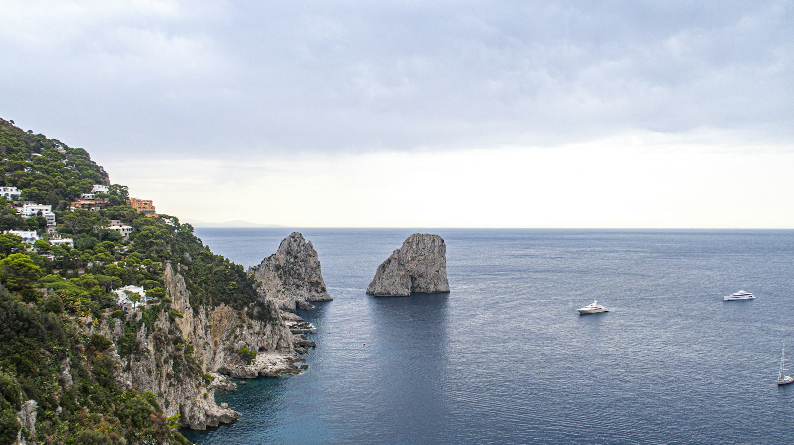
Capri and the Amalfi Coast are the Mediterranean's highest-density glamour run: 30 miles of vertical coastline from the Sorrento peninsula around to Salerno, with Capri sitting offshore as the crown piece. Operationally it is a tender captain's posting, because almost nothing here has a real harbor: Positano has none at all, Amalfi's is a pocket, and Capri's Marina Grande sells scarcity as a product. The yacht lives on hooks and buoys in deep water while the tenders do the work. The Faraglioni rocks, the Nerano lunch coves, and the Li Galli islets form the daily circuit. It photographs better than anywhere and works harder than it looks.

43°10'N 16°27'E

Croatia: Split & Hvar

Open guide →

Adriatic

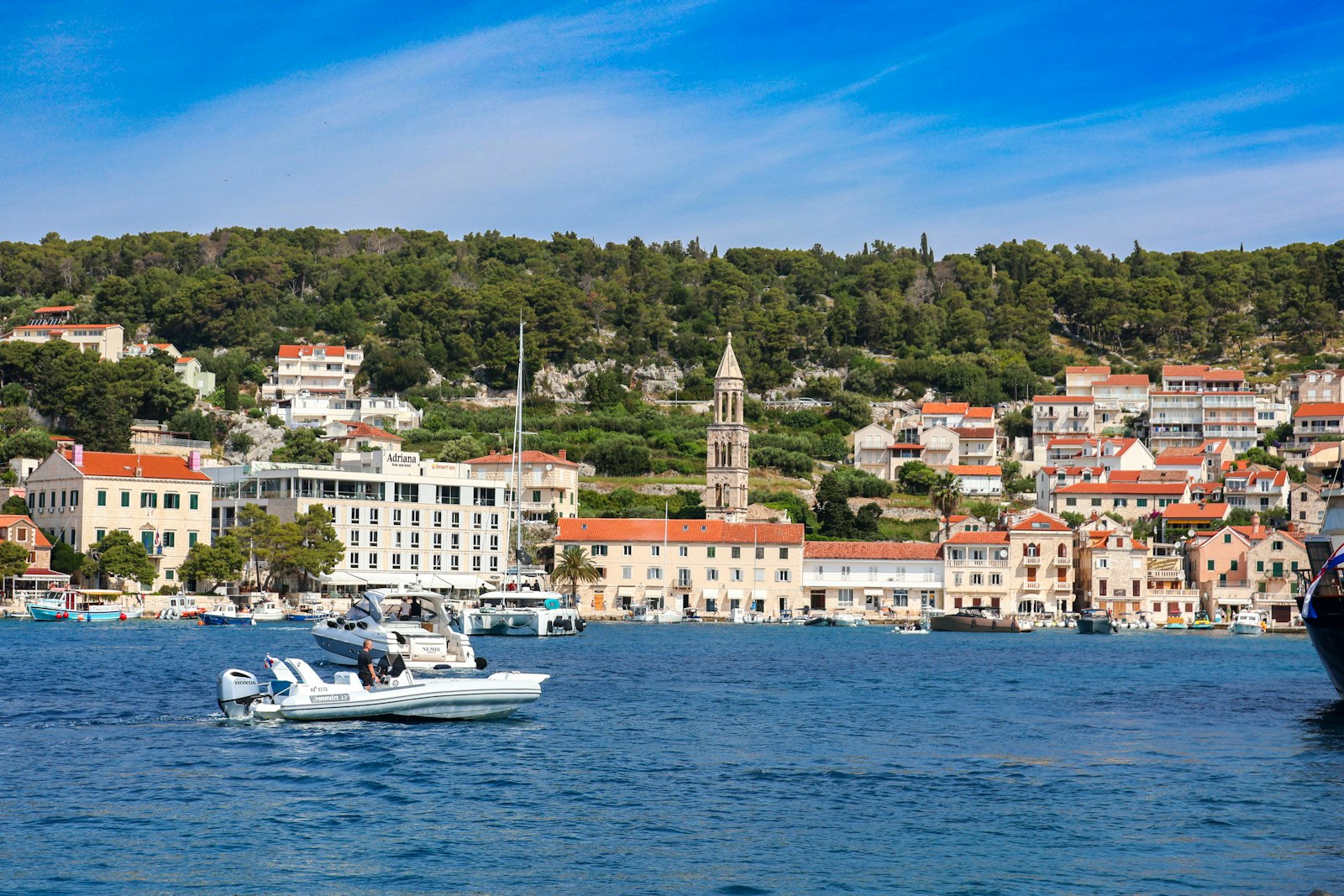
The Dalmatian coast out of Split is the densest quality cruising ground in the Mediterranean: a thousand-plus islands, 10 to 20 mile hops, deep clean water, and stone harbor towns every few miles. The ACI marina network, 20-plus marinas on one loyalty card, gives it logistics no Greek island chain can match. It is also the largest bareboat charter market on earth, which means Saturday turnovers move thousands of boats at once and the moorings at Hvar and Palmižana operate at airline load factors. The winds have names and tempers: the bura comes off the mountains like a fire hose, the jugo builds a wet southerly sea for days.

39°37'N 19°55'E

Corfu & the Ionian

Open guide →

Eastern Mediterranean

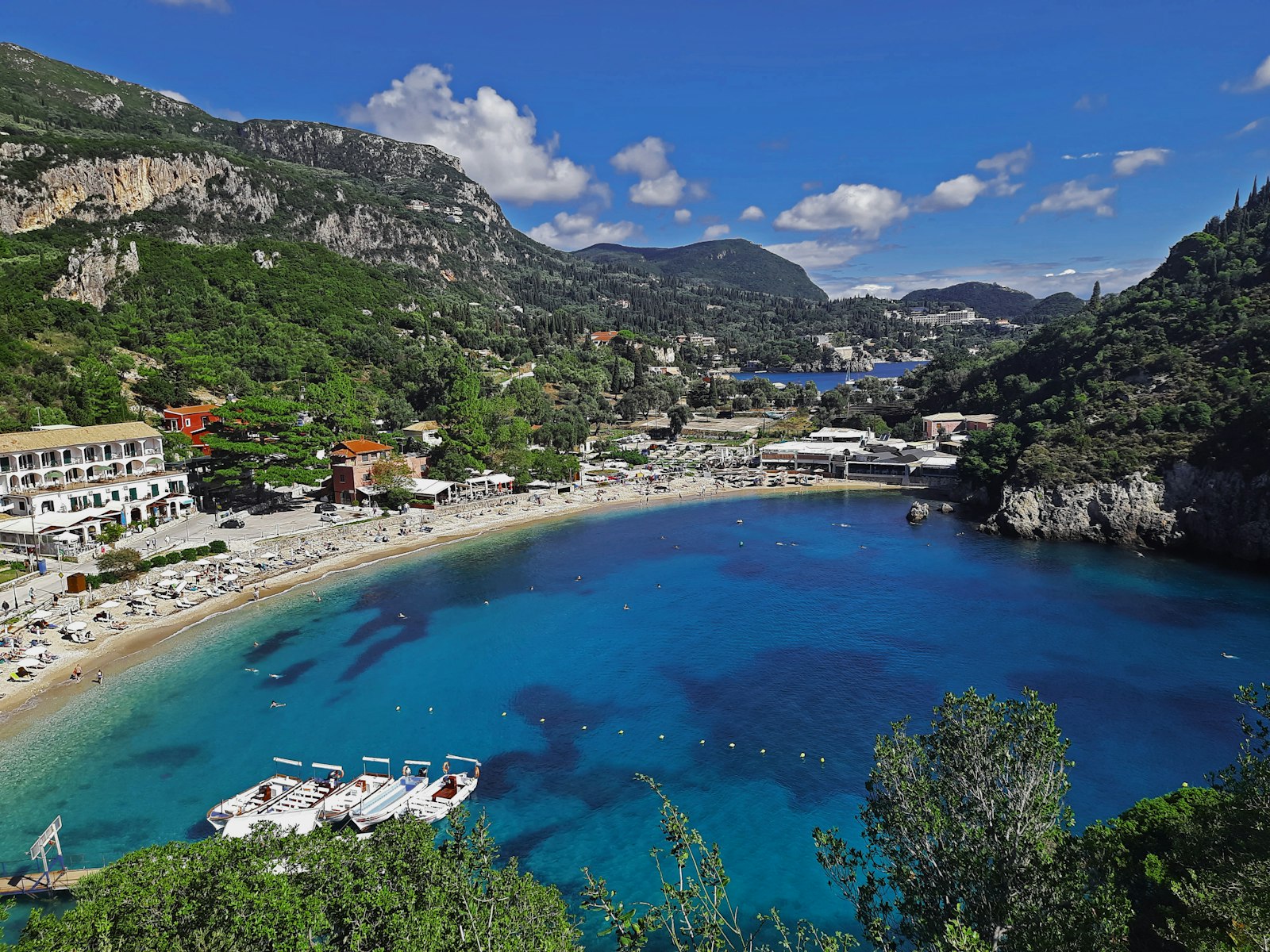
The Ionian is Greece with the difficulty setting turned down: no meltemi, afternoon breezes of 10 to 20 knots that die at dinner, short hops between green islands, and water that stays flat enough to keep guests fed and owners cheerful. Corfu anchors the northern end with Gouvia Marina as the operational base and one of the Med's more elegant old towns as the front porch. South lie Paxos and Antipaxos, the two-island reason half the charters come, and beyond them the Lefkas-Ithaca-Kefalonia chain. Albania sits 2 miles across the North Corfu Channel, close enough for day trips and historically close enough to have given this water its Cold War file.

37°27'N 25°20'E

Mykonos

Open guide →

Aegean

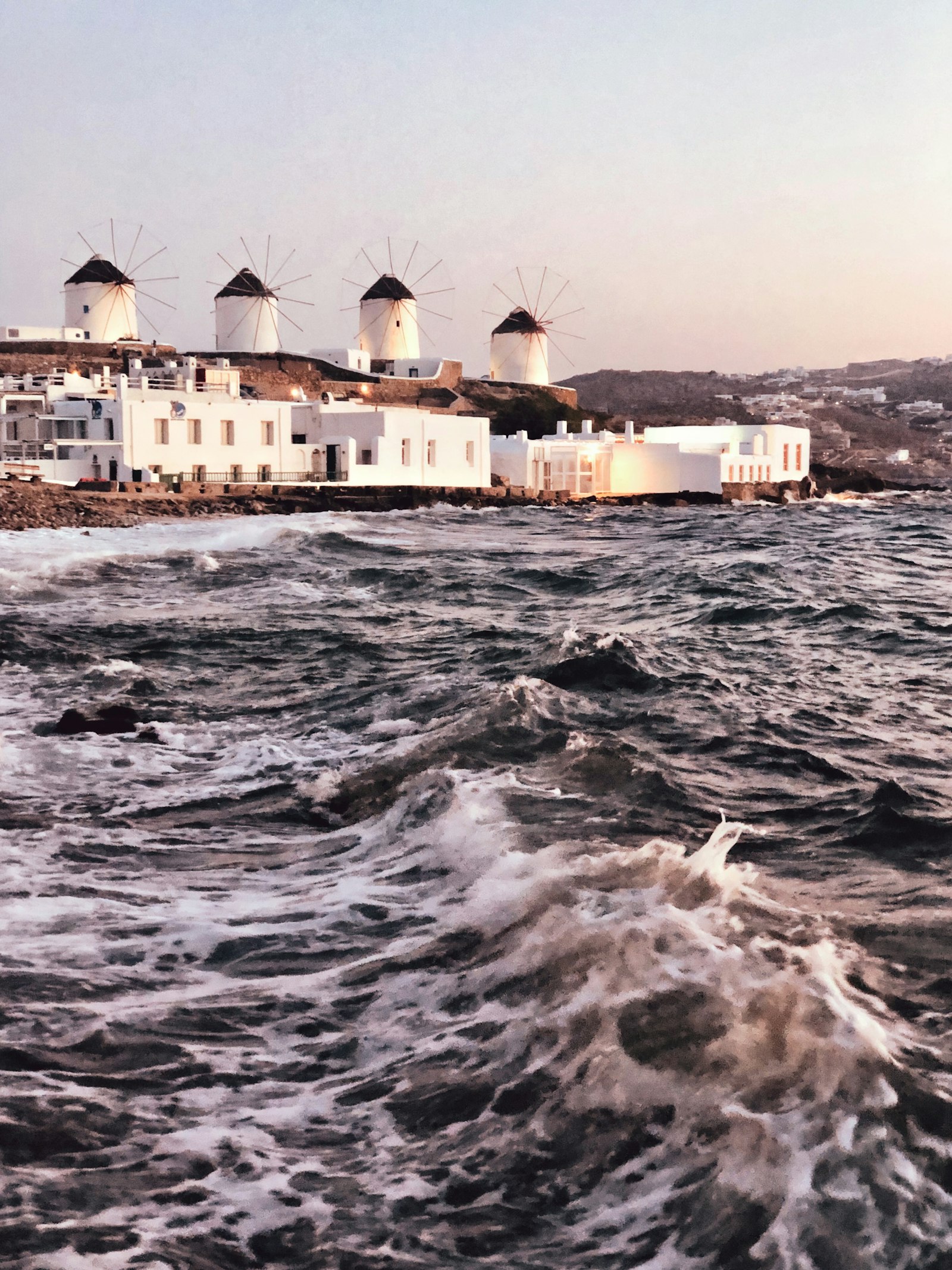
Mykonos is the Aegean's revenue island: beach clubs that bill like casinos, an August berth market with St-Tropez numbers, and guests who measure the stop in table bookings rather than anchorages. Operationally it is the most exposed major destination in Greece, sitting dead center in the meltemi's wind tunnel with a port at Tourlos that was built for ferries first and yachts somewhere down the list. Delos, the sacred island of antiquity, lies 5 miles southwest and provides both the cultural alibi and the lee. You come for the economics, you plan for the wind, and you keep an exit south to the lee anchorages in your pocket all season.

37°02'N 27°26'E

Bodrum & Göcek

Open guide →

Turkey

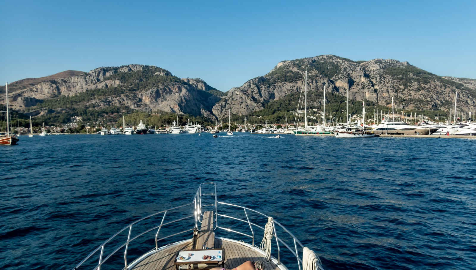
The Turkish coast is the Eastern Med's value play executed at luxury grade: Yalıkavak Palmarina on the Bodrum peninsula has spent a decade pulling the 70-meter-plus fleet across from Greece with berths, hauling, and a retail front the Cyclades cannot answer, while Göcek's gulf, 90 miles east, offers the best protected cruising water in the entire Mediterranean, a 10-mile bay full of pine-covered islands where the meltemi arrives as a breeze instead of a sentence. Costs run meaningfully below Greece for berthing, yard work, and provisioning. The price of admission is paperwork: Turkey sits outside the EU, and the transit log system plus agent culture is its own discipline. The gulet fleet, hundreds of traditional charter schooners, owns the bays in August and moves to its own rules.

41°17'N 70°06'W

Nantucket & Martha's Vineyard

Open guide →

New England

The islands are the ten-week heart of the New England season: Nantucket's Boat Basin is the scarcest dockage on the East Coast in July, Edgartown runs the patrician-harbor brief, and Vineyard Haven keeps the working-waterfront soul. The water demands respect that the social calendar obscures, this is shoal country, Tuckernuck Bank and Muskeget Channel and the Nantucket Sound rips have been collecting keels since whaling days, and the fog arrives in July like a subscription service. Distances are short, 20 miles island to island, and the operating windows are tide-gated. The economics are simple: everything peaks between July 4th and Labor Day, and so does everything else.

Know a destination cold?

Guides are built with working captains and local operators. Contribute notes, sponsor a guide, or list your business where crews are actually looking.